Hiking
Hike in the Valloise valley in the middle of the Massif des Écrins to see the Black and the White glaciers. Climate warming means these glaciers have retreated to approximately their extent in Roman times; it’s now a major hike to reach the ice of either. The valley floor is reminiscent of Yosemite with its pine trees. We saw almost no wildlife - no birds, no mammals - although this is a protected area within the national park.
More photos: Glacier Blanc & Glacier Noir - Parc national des Écrins
Hike to Lac du Lauzon in the Massic des Écrins, above the parking and Refuge du Gioberney. This is a favourite route that we haven’t hiked since before the lockdowns and all that. Great to hear again the sound of mountain water cascading on rock, to see the chamois and the birds. We enjoyed our picnic by the lake amongst the high peaks and the big valleys, though the glaciers which helped shape them are sadly small.
The berger and his dogs are bringing the sheep down this early in the year because there is no more fresh grass, because of the extreme and prolonged heat of this summer.
More photos: Lac du Lauzon (2008 m.), Valgaudemar - Parc national des Écrins
Second half of our hike of a section of the Solway Firth coastline in Dumfries and Galloway
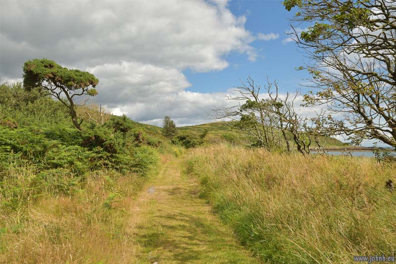
Onwards to Rascarrel Bay, a wonderfully unspoilt sand and stones beach with just a couple of old beach huts plus a few recent developments but much the same as the times of the hill forts and ramparts built on the top of the surrounding Big Airds Hill (102 m.) and Little Airds Hill (88 m.) or the disused shafts which might also have been smugglers’ or pirates’ treasure caches. Now the hills are grazed grassland, either ugly sheep or cows, with several signs warning of a bull in the field.
Further along, the map shows caves but we didn’t investigate, instead turning back to Balcary Bay through Rascarrel Moss, the woodland surrounding Loch Mackie to end back in Balcary Bay.
Hiking a section of the Solway Firth coastline in Dumfries and Galloway. This south Scottish coast is as dramatic and varied as the Cornwall coastline but is accessible to the public only in short sections.
We hiked from Balcary Bay, through the coastal woodlands to Balcary Point with views across the Solway Firth wind farm to the north Cumbria coast, and the relief of the Lakeland Fells. The rocks here have great names: Lots’s Wife, Door of the Heugh and Adam’s Chair. Then suddenly we see the rare sight across the sea of the full outline of the Isle of Man, from Snaefell (620 m.) to Ramsey Bay.
The freedom of the cross-country runner
Cross-country running was and is still my sport - I ran for the school and uni teams and I can still enjoy running, especially in wide open spaces. Latrigg (368 m) is just outside my windows here and I have several routes running the less popular paths, though as a “sports walk” rather than a full-on competitive cross-country or fell run. Today has been a fine afternoon and so it was again a pleasure as a runner to push upwards, enjoy the soft landings on forest paths, lollop over high grassland and fight to maintain balance on the descent. Happily also, hay fever wasn’t a big issue.
More photos: The freedom of the cross-country runner - Lake District National Park


