Hiking
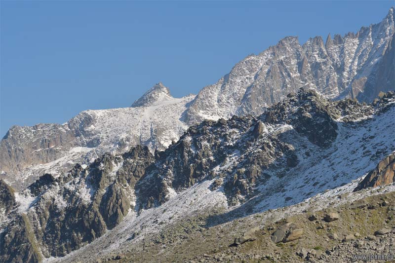
Down from the ice kingdom at the Aiguille du Midi summit but not yet ready to rejoin normal life at ground level in Chamonix, my afternoon hike was in the middle-mountain environment, above the tree line but below the year-round ice. I hiked out from the transfer station of the téléphérique at 2310 m. Passing the Lac Bleu, where the surface was partly frozen, and on to a view point (2350 m.) at the foot of the Glacier de Blaitière.
More photos: Plan de l’Aiguille - Lac Bleu (2299 m.) - Mont Blanc 2
Our summer hike from Ford railway station down the west bank of the River Arun to West Beach Dunes, the nature reserve facing Littlehampton in West Sussex. One of the few sunny days so far this summer, bright and warm although the agitated state of the sea is a reminder the weather remains unsettled. Few insects, plenty of ripe blackberries for trail snacks but also chest-high nettles and brambles.</p?
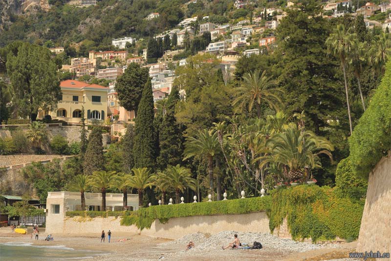
The walk from Pointe Cabbé and its little beach then on round Cap Martin to Carnolès in Roquebrune-Cap-Martin on the Côte d’Azur. The joy of this much-loved path is the lush sub-tropical vegetation, both in the millionaires’ gardens behind fences and on the harsh limestone rocks above the azure sea. The towers of Monaco are seen across the Baie de Roquebrune.
The architect Le Corbusier (Charles-Édouard Jeanneret) set up a showcase property “Cap Moderne” and a “Workshop hut” in properties overlooking this bay; this path is now named after him. It’s an appalling image to me as a non-specialist: the French architectural prophet of “Cities in the sky” drafting his ideas in an environment so totally opposite to the high-density, high-rise concrete blocks he was condemning generations to try to live within. And yet such blocks (but for the privileged few) are now a major feature of the view of Monaco across the bay.

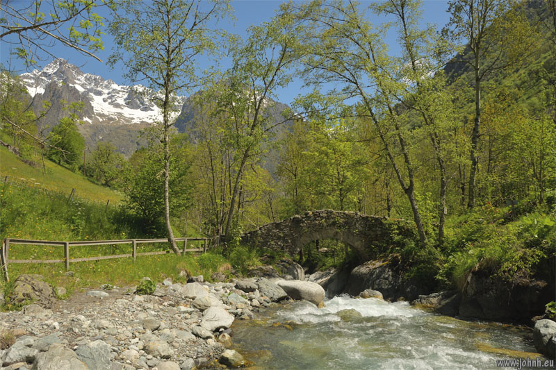
Valgaudémar, the valley floor at La Chapelle (1101 m.)
Fantastic and rewarding hike up from La Chapelle-en-Valgaudémar (Parc National des Écrins), past the roaring Les Oules du Diable (Devil’s Cauldron) to the abandoned village of Navette. Drama then pathos as the path rises through meadows and forest with views of glaciers and their melt-water cascading down the valley sides.
Navette was wrecked by storms and rockslides in 1914 , the village was only ever partially rebuilt, now only ruins and the spring remain.
More photos: Les Oules du Diable (Devil’s Cauldron) - Valgaudémar
Hiking a part of the Heritage Coast of the Vale of Glamorgan. These limestone cliffs face Porlock and Exmoor across the Bristol Channel; the coastal strip is warmed by the Gulf Stream so much milder than the Welsh Valleys not far inland.
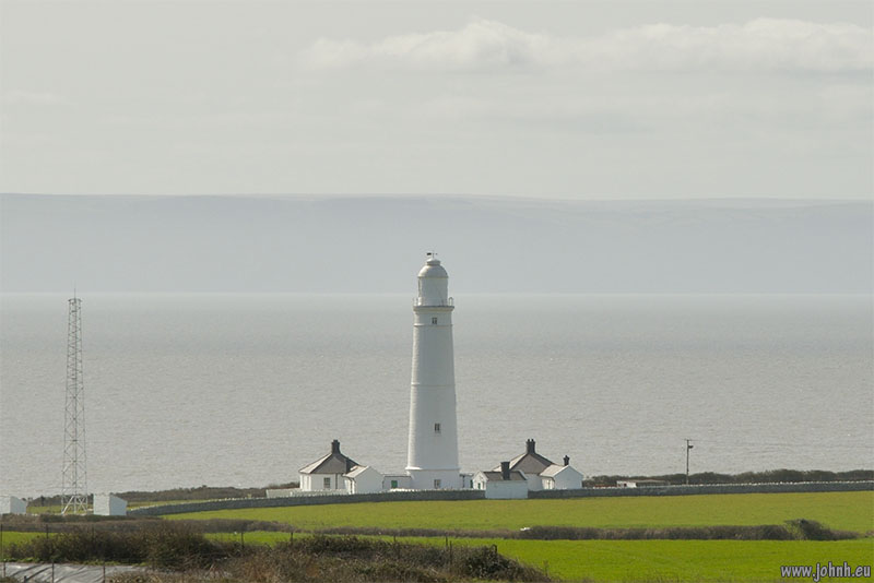
I did a triangle walk from the church of Marcross, out to Nash Point and the lighthouse run by Trinity House. The massive fog horns were quiet but the sound of the bells on the buoys out to sea was eerie on the breeze. It’s easy to see that those are ship wrecking rocks out there. These rocks were laid down in the Carboniferous, Triassic and Jurassic periods and abound with fossils and geological interest.
Along the cliffs to St. Donat’s Bay with various annoying diversions and changes to the footpaths to keep hikers out of the land of the college and castle there. I used the Valeways Millennium Heritage Trail back across the fields with a striking view of Exmoor across the Bristol Channel.


