Motorbiking
"Biker" for me usually means motorbiking, though I also have a couple of mountain-bikes... see Trail Bike
My current motorbikes are a Honda CBR600RR ABS 2017 and a Kawasaki Ninja Z250SL.
Previously I have owned: Kawasaki ZX4-RR (Ninja anniversary edition), Honda CRF300 Rally, Honda CBR600RR 2005, Honda CBR600FW, Honda VF750F, Yamaha FJ600, Suzuki GSX750EX, Yamaha FJ750, Yamaha XJ900, Kawasaki Z750 and I passed my riding test on my Kawasaki KH250.
See also my Motorbiking web links
Last ride of 2025 on my CBR600RR in Provence. Blue sky and temperatures 15°C or so. Out to the Var département, passing the Circuit du Castellet. I found a route around the vineyards of Côtes de Provence and then back over Ste. Baume.
Happy bikers of AMA Provence gathered in the Club Nautique de Martigues for the End-of-year lunch. Good company and food. Menu options included seafood pasta, cod with aoili, steak tartare and bavette. It was chilly but didn’t actually snow, my picture of us who'd arrived on two wheels is enhanced by AI. Creepy how effective even a demo can be. It was chilly though, so the snow is how it felt rather than how it looked.
Des motards de l'AMA Provence se sont retrouvés au Club Nautique de Martigues pour le Repas de fin d'année. Bonne ambiance et bonne bouffe. Il faisait frais, mais il n'a pas neigé. Ma photo de ceux qui étaient arrivés à moto est retouchée par IA.
Merci a Pascal C pour organiser l’événement.
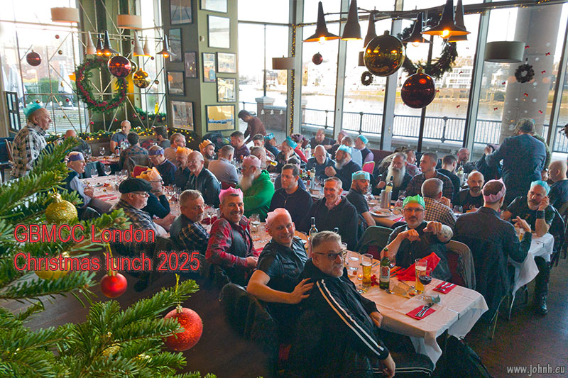
Afternoon among friends at the GBMCC London Christmas lunch on the banks of the Thames at Vauxhall. Several GBMCC members are seen in the gay biker movie “Pillion”. The club London Christmas lunch is a meeting point for GBMCC members from all the UK, not just the London crowd.
Many thanks to Stephen and Noam who organised the event.
A quick jetwash for my CBR600RR, which then needed drying. So a ride up to le Mont Sainte Baume, of course enjoying the challenging curves of the Col d’Espigoulier (728 m.) and the lookout over Marseille. On to the Hostellerie de la Sainte-Baume and a lookout towards Montagne Sainte Victoire, today hidden in the haze.

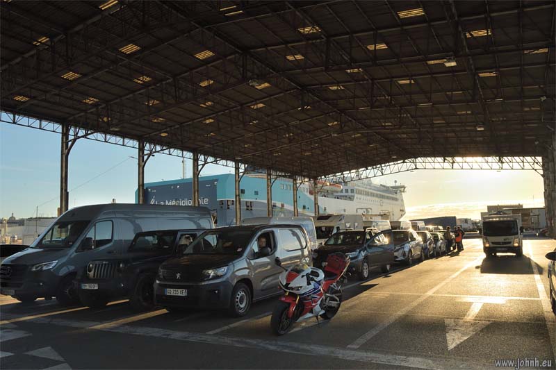
CBR600RR embarking at Marseille
Heathrow - Marseille - Porto-Vecchio - Bonifacio - Sartène - Zonza - Col de Bavella - Porto-Vecchio - Marseille
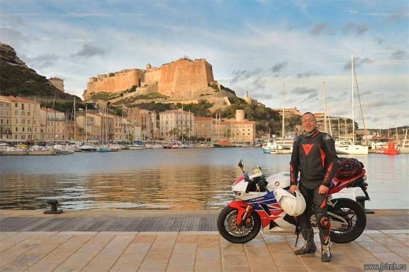
Dawn flight from Heathrow then a sunset sailing to Corsica from Marseille with my CBR600RR for an unforgettable ride. An epic journey to the île de beauté and back to enjoy a November day of fine weather.
Subcategories
Alps Biker 2016
I'm riding light for a week on the mountain roads of the Alps. No laptop, although I do have my SLR camera but photos will have to wait till I'm back in Marseille..
I left Marseille for a long ride north via the Col de la Croix Haute (1179 m.) to Saint-Gervais under Mont Blanc. A bit of rain towards the end of the day which cleaned the Provence dust off my white leathers and boots but didn't soak me through.


