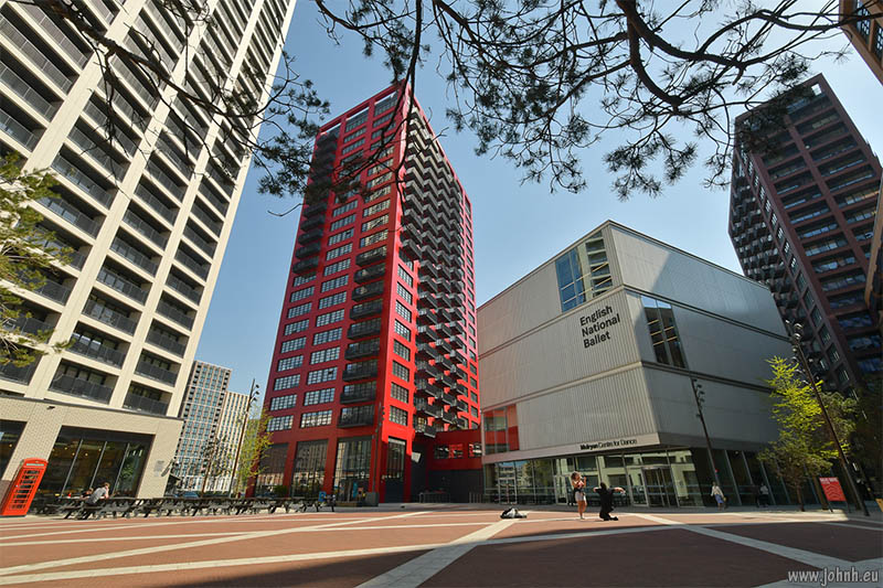
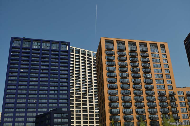
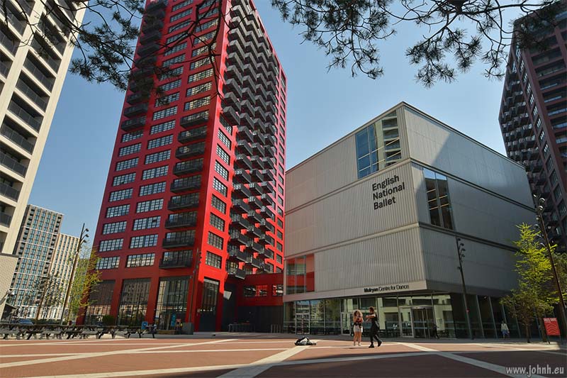
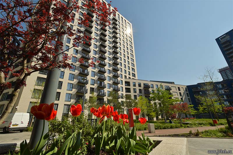
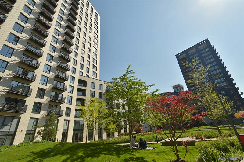
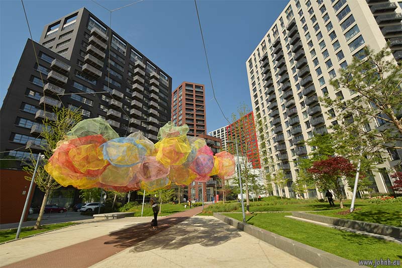
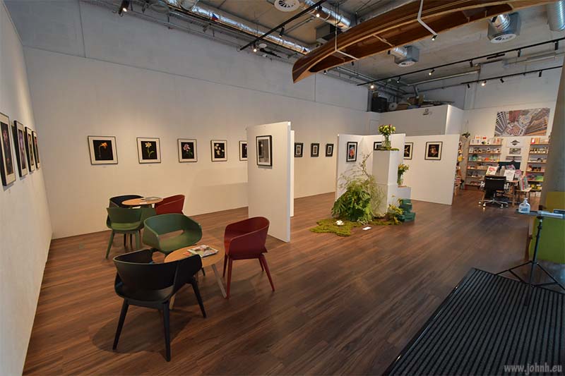
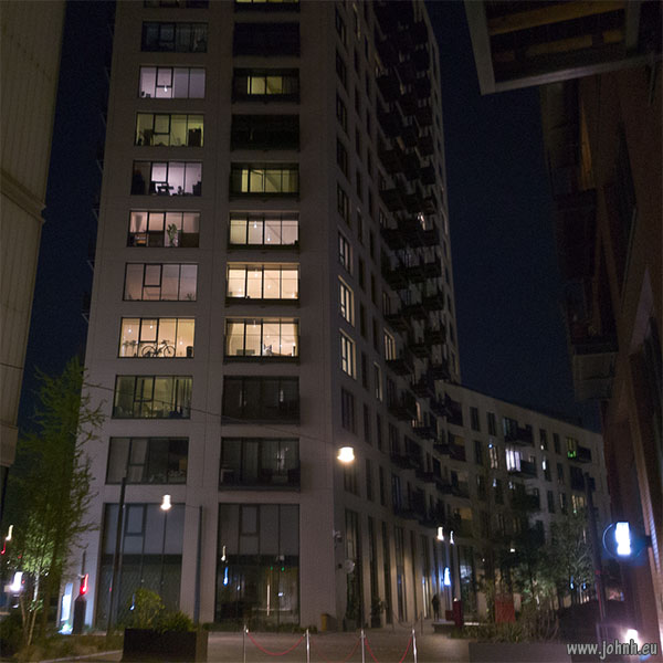
At first sight this is another huge high-rise development in former docklands to the east of London. But there’s more to the architecture of London City Island than that. The island location (known locally as “Bog Island”) is in the deep part of one of the curves of the River Lea just before Leamouth, the confluence with the River Thames at East India Docks. The geographical location fundamentally softens the architecture which is indeed otherwise relentlessly rectilinear and very vertical, reaching far higher than power lines in Canning Town on the far side of the River Lea.
Thinking back to Le Corbusier’s principles, most of them are implemented here but in the building materials of the 2020s - though it’s always permissible to have concern about fire safety. So my initial revulsion is poorly justified. Deliberate construction of a creative quarter also has many precedents. Plus the transport links are good. So the area seems to make sense.
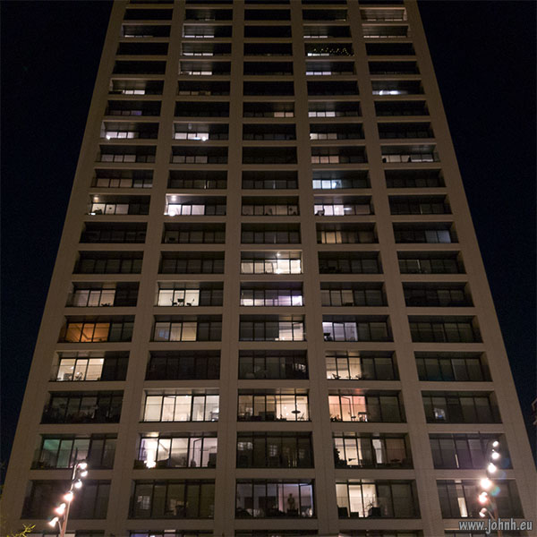
The character of the place turns inside-out at night. Most of the windows are illuminated and there are few blinds shut; there are minor restrictions in the leases which prohibit coloured blinds but it seems simply that the culture here is that most people don’t cover their windows at night.


